
![]()
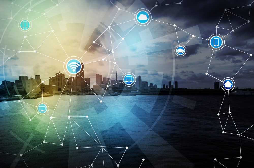
When you think about the Internet of Things (IoT), it is both intriguing but mysterious. We have a sense that this platform is affecting our daily lives and giving us buying choices that connect us with devices. For example, we can buy devices that help us remotely run or protect our homes. On the other hand, we are realizing that IoT will change the way government works, too. IoT is essential for building the smart communities we live in. And yet, it seems as if we are always on edge of things to come.
Similar to the early Internet, few had the long-range vision to know everything the web would become and what it would have to offer. Innovation and entrepreneurism prevailed as new applications emerged at a rapid pace. We see these patterns all the time. ATM technology allows us to get cash any time, almost anywhere. Now we’re using things like e-commerce, online banking, tap and pay, and the ability to buy a hamburger and get twenty bucks back so you have a little cash in your pocket.
As IoT evolves, we’re starting to think about a myriad of smart technology: devices, cars, houses, and meters that sense everything from location to temperature to pressure to energy consumption. Many of things don’t even require our interaction and yet, they are becoming part of our lives. This is resulting in an unfathomable amount of information streaming over the Internet. It’s just floating out there – ready for you to use. If you only knew how.
From my perspective, there are five basic concepts that governments need to consider to take advantage of the Internet of Things. Think of it as how the Internet of Things meets the Internet of Where.
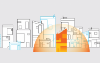
The first challenge is to better plan our communities to effectively take advantage of the IoT. Look at geodesign principles to better understand where we can best place these sensors to collect data to collect the data for better decision-making. Governments can design cities to prepare for and assist trends like unmanned vehicles and where public infrastructure itself signals vehicles letting them know the condition of the roads, where to drop a passenger off, and where to pick the next one up. How to navigate to optimize delivery schedules. That IoT infrastructure and the vehicle uses location to collect data on road conditions, produce passenger counts, and, through spatial analysis, reveals patterns that help us understand what’s going on.
I also believe that, for most of you, the real challenge with IoT is getting connected with the data so that you can do something meaningful with it. After all, if you can’t access the data produced by IoT and control it in some way you’ll never get to use this incredible information and you won’t be able to make real-time decisions.
What I’m suggesting is that there’s a more practical approach to taking advantage of the IoT. It’s a technology you are already aware of called, Real-Time Geographic Information Systems (GIS). Real-Time GIS refers to getting connected with streaming data, visualizing it, and doing something with it.
It’s a way to come at IoT from a different angle; using location as your access point. By using GIS you can tap into streaming data sources and put that data to work in an efficient and useful way. In other words, the door to IoT will open to you.
Let me explain, by connecting with IoT through Real-Time GIS, there’s 3 things you can do right away:
First, you can get connected with any type of streaming data. Connectors are just little pieces of software that translate the data feeds into GIS language. At Esri, we have dozens of pre-built connectors that work with common data feeds. And, we make it easy for you to build your own connectors so that you can connect to the streaming data you want to work with.
Next, you can use Real-Time GIS to instantly analyze the data and eliminate the noise in the data streams you connect with. Essentially, you filter the data so that you are only seeing the what’s important to you. In a split second, Real-Time GIS helps you focus on specific key words or thresholds and, at the same time, allows you to constrict the geography of your interest; say your city boundary or project area.
Finally, you can create alerts that notify you and other people or devices when something you’ve defined happens. And, you can employ geofences – a virtual geographic boundary that enables action when devices approach, enter or leave the area. These alerts can also update maps and databases.
These three simple concepts – connect: analyze: alert – may help you get a handle on IoT and approach it in a practical way. Just the ability to tap into IoT data streams makes it worthwhile. Real-Time GIS makes it possible to cut through the noise of IoT data and focus on what’s most important to you. It empowers you to automate action and make real-time decisions.
It’s time that we start thinking about IoT differently. We need to eliminate the mystery (and confusion) around it and put it into practical terms. The promise of IoT must meet our needs.
Christopher Thomas is part of the GovLoop Featured Blogger program, where we feature blog posts by government voices from all across the country (and world!). To see more Featured Blogger posts, click here.

Great Information. Thank You Author, for sharing your valuable information about iot with us. People who are reading this blog can continue your knowledge which you gained with us and know how to apply this practically along with our IoT Training