
Each year, government agencies lose billions of dollars due to fraud, waste and abuse. Government agencies tasked with fraud prevention are increasingly turning to geographic information system (GIS) platforms to accurately identify patterns and problem areas and improve organizational efficiency.
At this month’s MapUp, “Stay One Step Ahead: Leverage Location-based Solutions for Fraud Detection and Prevention,” GovLoop and Esri heard a number of innovative use cases from Timothy Kropp, Senior Advisor to the Chief Data Officer at the Health and Human Services Department (HHS); Jerry Bullock, Special Agent with the National Railroad Passenger Corporation (Amtrak), Office of the Inspector General; and Russ Rappel Schmid, Data Analytics and GIS Specialist for the U.S. Postal Service (USPS), OIG.
These government agencies have demonstrated success with the use of geospatial technologies to reveal blind spots and better fulfill their missions. Maps and data analytics tools like ArcGIS are enabling these organizations to aggregate location information from inside and outside their organizations, visualize the information in a meaningful way, model predictions and stay one step ahead of fraud.
One of the most exciting features of GIS technology is its flexibility. Investigators, auditors and analysts can view location-based data historically or in real time. The analytics tools can be deployed in the cloud, on-premises or out in the field, while keeping data safe. Individuals throughout an organization can access data from their desktops, web browsers, smartphones or tablets. GIS can also be used in combination with agencies’ current technologies to enhance existing workflows and inform decision-making at all levels within an agency.
According to Kropp, the problem is not always a lack of data, but rather that traditional data analyses tend to be too wonky and technical to be helpful to the average end user. “The beauty of mapping software like GIS is that it’s something that everyone understands,” he said.
“GIS is particularly innovative in that it improves the back-and-forth between the analysts and people who aren’t necessarily data-savvy. This technology makes information iterative and understandable and creates a data story,” said Kropp.
But how do GIS and mapping technologies actually work to detect fraud and prevent waste?
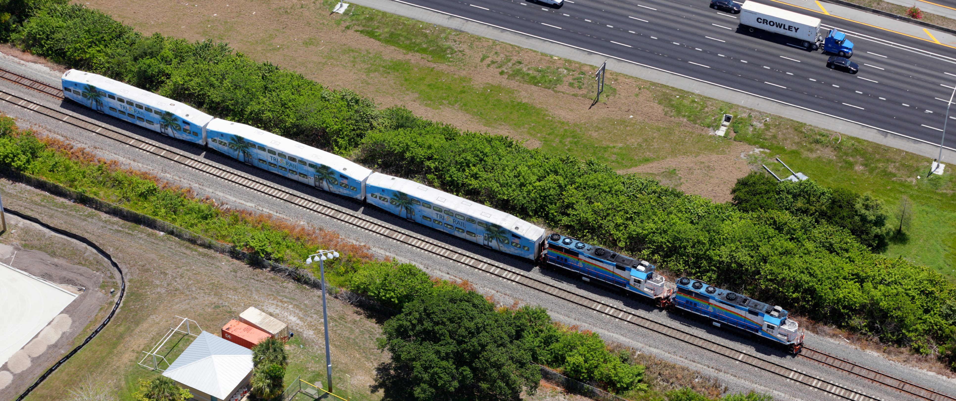
Amtrak
Bullock explained how Amtrak has utilized ArcGIS for rail safety investigations and identifying employee violations. Each railcar on Amtrak trains can provide GPS pings every 10 seconds over WiFi. The OIG can then download this data and sync it with their rail maps to identify potential safety issues in real time, such as speeding, signals violations or employee use of personal electronic devices.
ArcGIS also provides critical, reliable information on date, time, and location that can help verify claims of fraud. Some Amtrak employees, for example, were fraudulently billed by their healthcare providers for various medical services. But by analyzing employees’ schedules and presenting geographic and spatial data, employees could demonstrate that they were in a particular location at a particular time while they were working, and could not have received those medical services.
Health and Human Services Department
For HHS, one priority outcome with GIS is reducing potential fraud in Medicare and Medicaid that could be fueling the national opioid epidemic. Kropp explained how his agency uses distance analysis — looking at the geographic distribution of opioid prescriptions — to understand where there might be a larger network or pattern of fraud.
Investigators might ask questions about what constitutes abnormal, potentially fraudulent behavior: How far are people traveling for this one pharmacy? Are people traveling further distances to go to a specific pharmacy? How many other pharmacies are closer to the beneficiaries? How many pharmacies did they pass on their way to the other pharmacy?
Using simple GIS analysis, HHS can map realistic boundaries for rural and urban environments (e.g. determining the pharmacy with the shortest drive or walking time from the beneficiaries’ homes and creating a three-mile buffer around that route), apply these parameters to every opioid beneficiary and identify any outliers. If multiple people are traveling uncharacteristically long distances to go to a specific pharmacy, there may be reason to investigate.
“There is such a large volume of data. I don’t need more leads and more fraud identification, I need fraud optimization,” said Kropp. Data analytics is important because it can help identify larger fraud networks and allow investigators to prioritize how they allocate their resources and pursue cases.
United States Postal Service
USPS used GIS tools to detect “double dipping”—where USPS employees or their relatives were paid twice by earning additional income as outside contractors, which causes conflicts of interest. (One example cited by Rappel Schmid was the case of a mail carrier who also had a custodial contract for the same USPS facility. After identifying an exact address match, the USPS was able to recoup $25,707.)
Though USPS tried basic data analytics through address matching — making sure that an employee address on file didn’t match with any addresses in the contracted payment database — they ran into a number of challenges. If addresses had slight spelling variations (“Street” instead of “St.”), the system might not show a match.
Instead, USPS plotted all employee addresses and all payee addresses from the last two years on a map. Using a GIS proximity tool, the OIG identified instances where a supplier address was within a few miles of an employee address, and analyzed additional information (e.g. the number of transactions and total dollar value of transactions for a particular contractor) to help agents narrow down leads to likely cases of fraud. Agents could also access the GIS portal at any time through a web application and zoom in on their regional areas of responsibility.
The USPS was also able to use GIS technology to identify highway contractors and drivers charging fraudulent transactions to their Postal Fuel Cards. “The only way to identify fraud before was if you had a hunch. It was basically impossible to look through a giant spreadsheet list of fuel transactions and try to guess which ones were fraudulent and which were not,” said Rappel Schmid.
But with GIS, USPS was able to plot information about where the driver started, where he needed to end up and plug in the locations of stops made for purchases and fuel transactions. By overlaying this data with the most efficient, direct route from point A to point B, investigators are able to see where drivers traveled far outside the buffer zone. As a result of this technology, one postal highway contractor was debarred and suspended for obtaining over $5 million in unauthorized fuel purchases.
Over time, agencies can quantify how certain actions might have preventative effects. They can create models to help identify locations with similar characteristics that put them at risk to make more informed and effective fraud-prevention decisions.


Leave a Reply
You must be logged in to post a comment.