
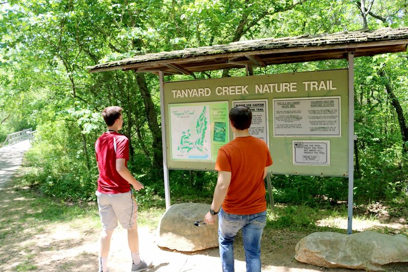
GRAVETTE -- Thomas Tryon, Grayson Fordyce and Isabella Dell, three students in the EAST program at Gravette High School, are working on a project to map the Tanyard Creek trail in Bella Vista. Using ArcGIS mapping software from ESRI, they are creating a story map which will allow hikers to see points along the trail before they go walk the trail. They can get an overview of the trail before walking it or just do a virtual walk using the story map.
The mapping and software work was done by Thomas and Grayson. Isabella did the photography and video editing work. The work was done in cooperation with Kim Carlson of the Bella Vista Parks and Recreation Department.
The project was funded through a Beyond the Bell Grant from EAST Initiative. Any EAST program in good standing may apply for a Beyond the Bell Grant for projects to be done outside of school hours or during the summer.
These students plan to partner with other schools next year to continue GIS mapping projects.
Community on 05/17/2017